Mapping for War and Peace - Ordnance Survey’s maps and the First World War
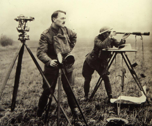
...in 1918, OBOS printed 300,000 maps. Sixty seven Ordnance Survey staff were killed during the war and they are commemorated at a memorial in a peaceful garden besides the new...