Mapping for War and Peace - Ordnance Survey’s maps and the First World War

Posted by: , Posted on: - Categories: First World War
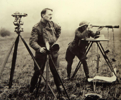
Surveyors on a First World War battlefield. (Image: © Crown copyright)

Far from its traditional image as the publisher of leisure maps for ramblers and cyclists exploring idyllic countryside, where the only disturbance is the rustle of a cagoule or the whirr of a freewheel, the Ordnance Survey’s origins are associated …

What’s the Context? 4 April 1949: the signature of the North Atlantic Treaty

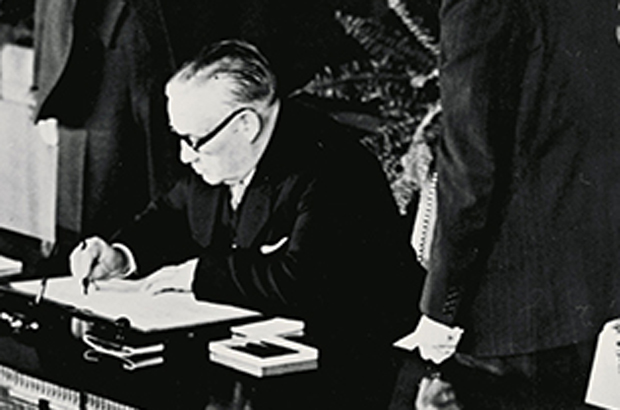
The signing of the North Atlantic Treaty

How the West was won 65 years ago today the North Atlantic Treaty was signed in the State Department auditorium in Washington. An organisation was born—NATO—that remains a cornerstone of Western defence up to the present day. In 1949 there …

Clement Attlee: enigmatic, out of time – and formidable

Posted by: , Posted on: - Categories: No 10 guest historian series, Prime Ministers and No. 10
Portrait of Clement Attlee (The National Archives reference INF 14/19)

Clement Attlee bore little resemblance to the contemporary politician. He had no time for the things that are now the stock-in-trade of all serious aspirants for high office: image and public relations. Attlee was so apparently unconcerned with presentation that …

What’s the context? 22 January 1924: Britain’s first Labour government takes office

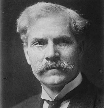
Ramsay MacDonald

Ninety years ago today, the British political mould was shattered by the election of the first Labour government. After an inconclusive election on 6 December 1923 that the ruling Conservatives lost but nobody won, Ramsay MacDonald took office as both …